Popular Environmental Health Disparities Map upgraded with more data on emissions and roadway traffic
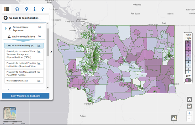
DOH’s Washington Tracking Network (WTN) just launched version 2.0 of our popular Environmental Health Disparities (EHD) Map. The new version includes an update to the map using the best available science and recent data. Version 2.0 went live on July 28, 2022, and includes the following updates:
- Data updated to reflect more recent years
- Diesel Emissions indicator changed from NOx-based to PM2.5-based, since PM2.5 is more relevant to human health
- Populations Near Heavy Traffic Roadways indicator changed to Proximity to Heavy Traffic Roadways to provide more accurate traffic variation, especially in rural areas
More detailed information about the changes can be found in our two-page summary or the full technical report.
With the updated measures, the ranking of some census tracts will be different from the previous version. We are happy to consult with you on how to manage any impacts this may have on your work. Email us at EHDmap@doh.wa.gov.
If you would like to hear more about WTN updates, you can subscribe to the WTN email list.