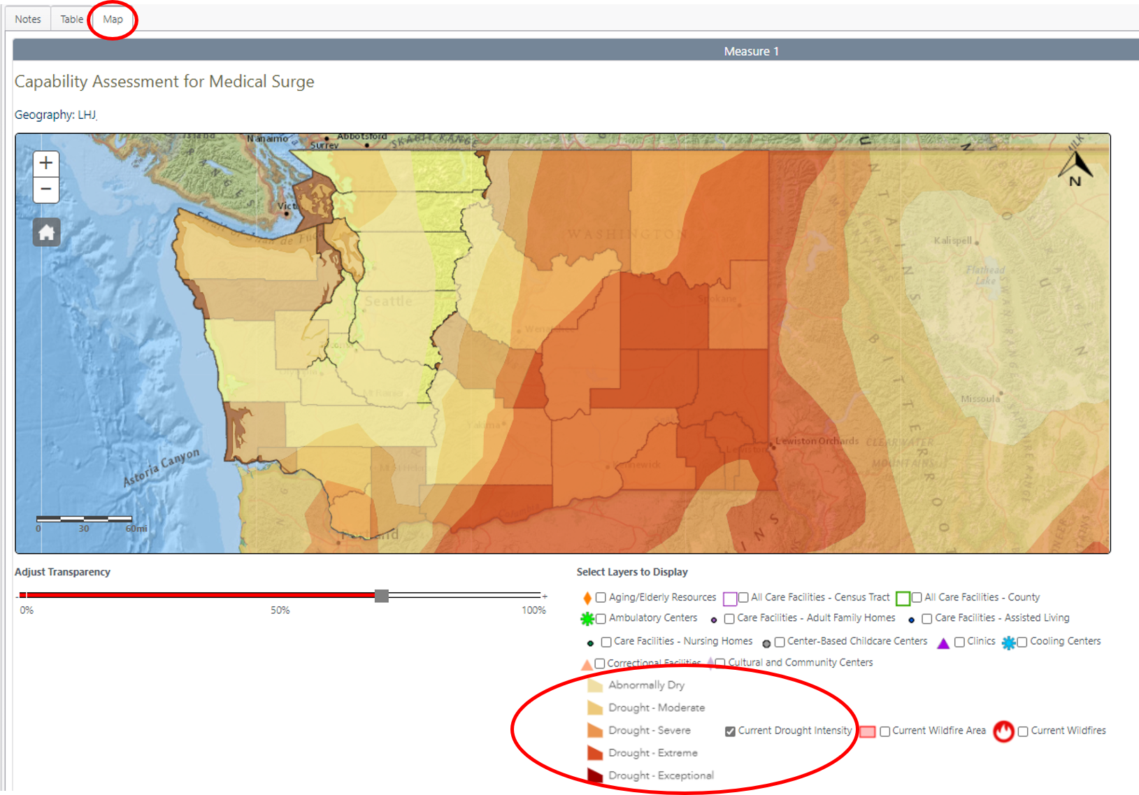
“Real-time” drought map layer added to Washington Tracking Network (WTN)
WTN added a "real-time" drought monitoring layer to the Emergency Preparedness and Response measure section of the WTN Query Portal. This map layer was recently added to help identify areas of concern for wildfires.
How to use
- Navigate to the WTN web page, click the green 'Submit' button on the left under ‘Selection Criteria’
- Go to the ‘Map’ tab at the top (see photo below for details)
- Click 'Current Drought Intensity' in the ‘Select Layers to Display’ under the map

